
Heol Blaenhirwaun,, Llanelli
Property Features
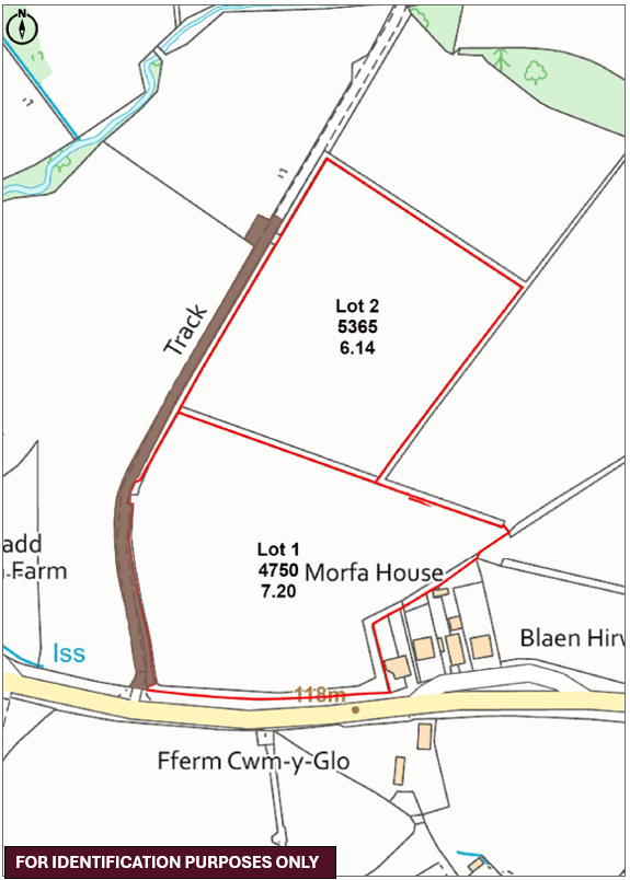
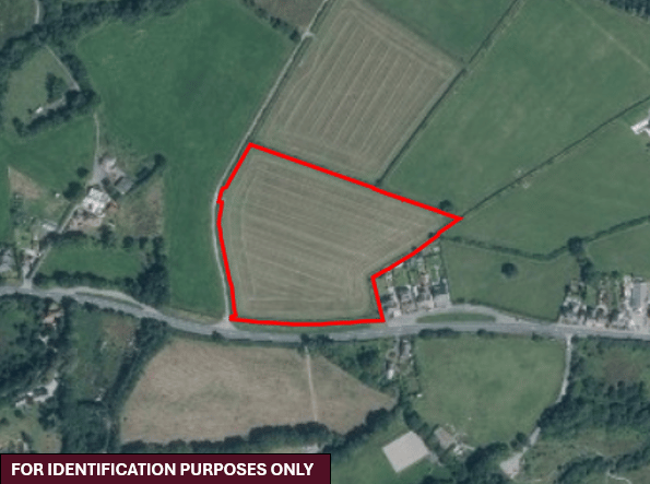
- 7.20 acres contained in one field
- Suitable for a range of uses to include grazing, cutting, equestrian or amenity purposes
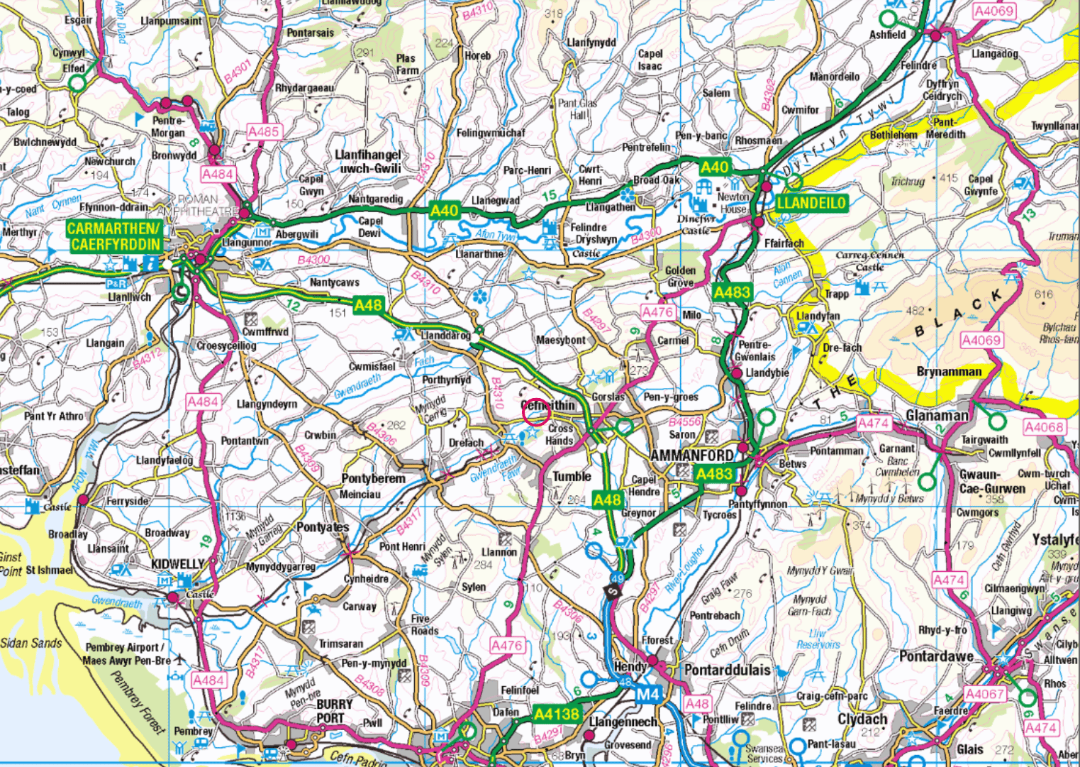
- 1.2 miles to Drefach and 1.3 miles to Cross Hands
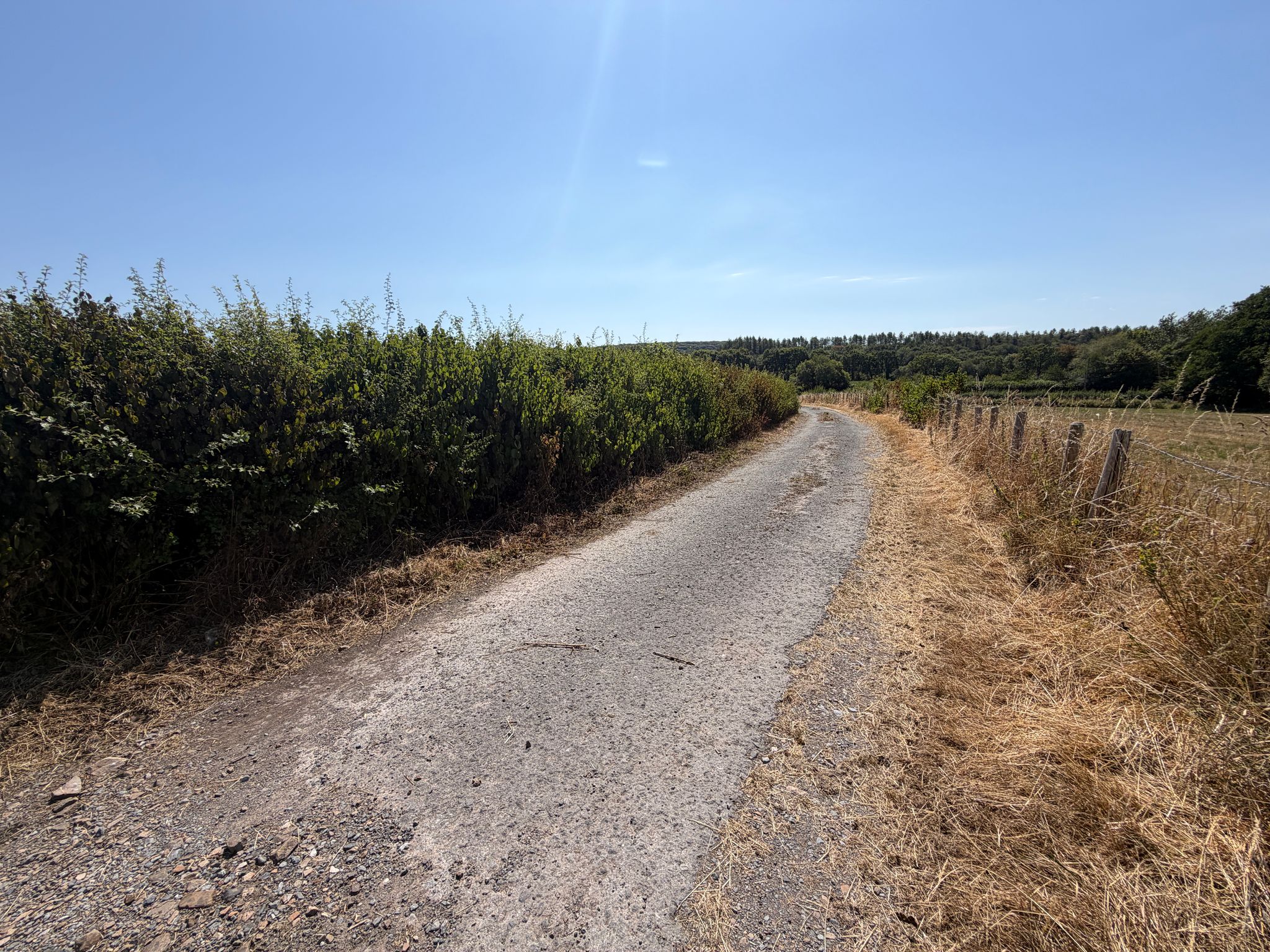
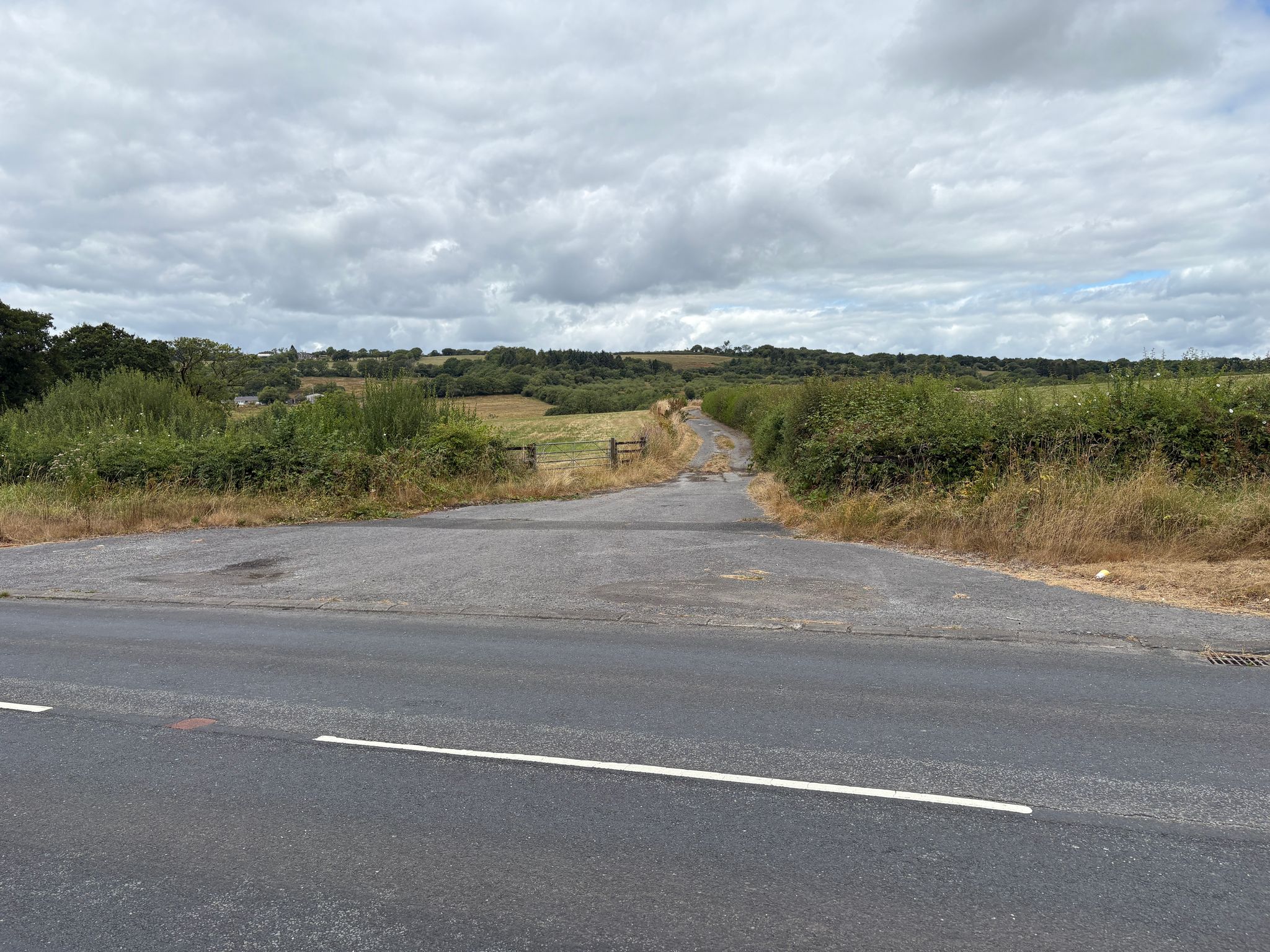
- Direct gated access from a hardcore track
- Option for a further parcel of approximately 6.14 acres to be purchased at £60,000.00
Property Summary
Approximately 7.20 acres of land set within a single enclosure, benefitting from direct gated access from a concrete track off Heol Blaenhirwaun. The land is conveniently positioned between the villages of Drefach and Cross Hands, both of which offer a range of local amenities, services and facilities, with excellent accessibility to the A48 and wider transport links. The parcel provides a useful and manageable block of land in a well-connected rural setting, suitable for a variety of agricultural, grazing or amenity purposes.
Full Details
Overview
The land extends to approximately 7.20 acres in total being level to gently sloping in nature, benefiting from direct gated access from a concrete track off Heol Blaenhirwaun on the Western boundary. The land is conveniently positioned between the villages of Drefach and Cross Hands, both of which offer a range of local amenities, services and facilities, with excellent accessibility to the A48 and wider transport links. The parcel provides a useful and manageable block of land in a well-connected rural setting, suitable for a variety of agricultural, grazing or amenity purposes.
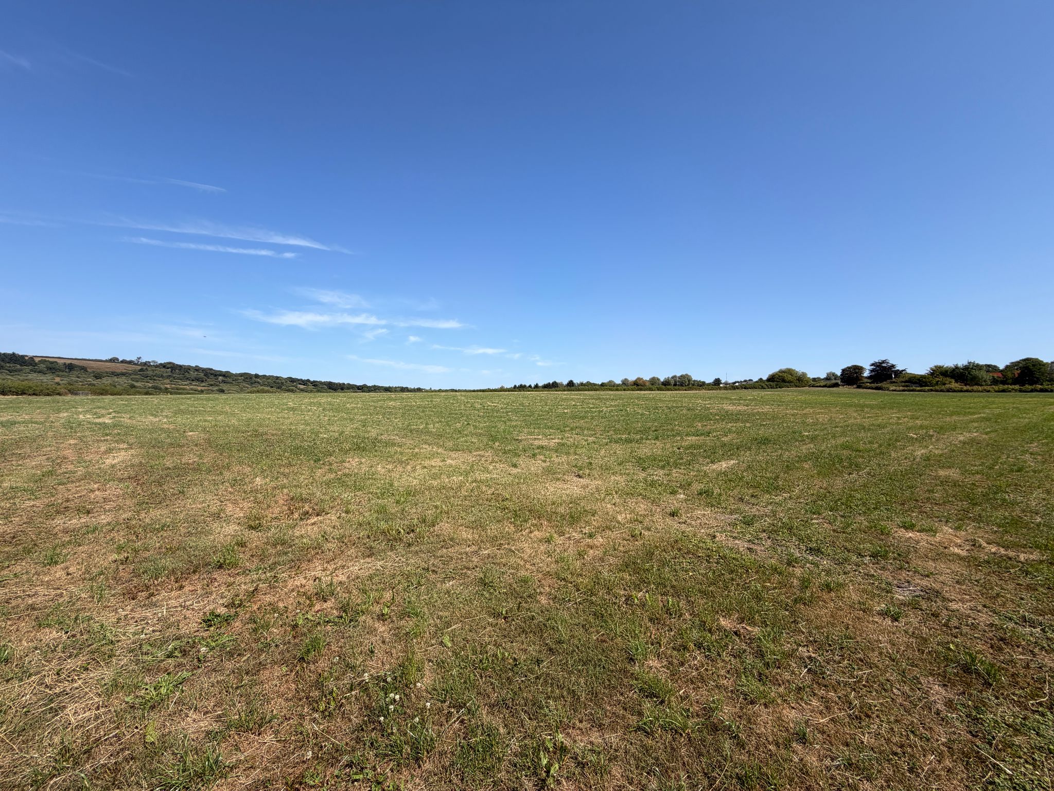
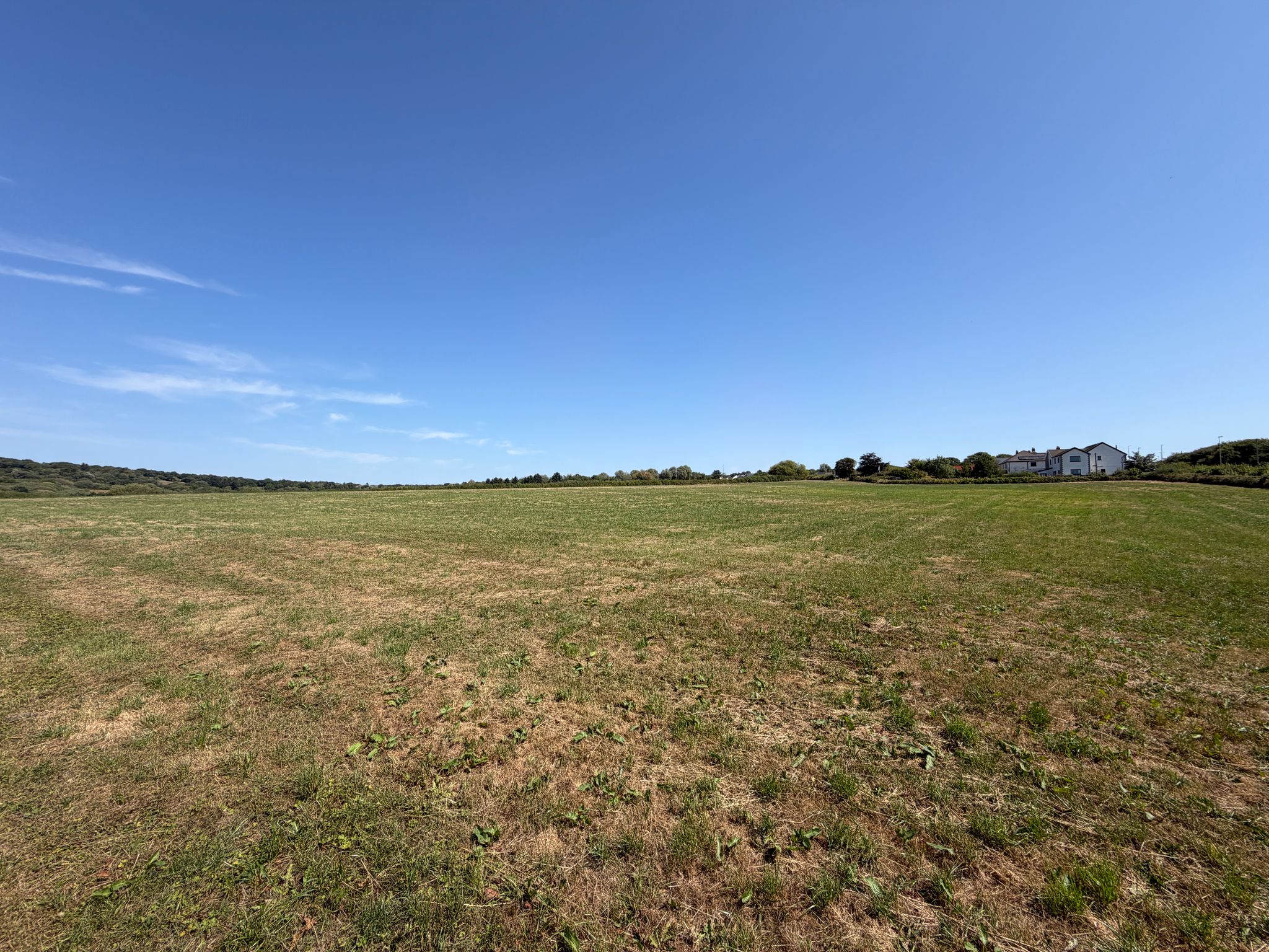
The land is currently laid to pasture, being suitable for both grazing and cutting purposes, with established hedgerow providing shelter and cover during summer months.
Land Classification
The land is classified as having carboniferous shale and standstone according to the Cranfield University Soilscapes map and Grade 5 according to the Agricultural Land Classification Map (ALC) 2 produced by the Welsh Government.
Further Information
Tenure
We understand the property is held on a freehold basis with vacant possession upon completion.
IACS
We understand the property is registered.
Wayleaves, Easements and Right of Way
The property is sold to and with the benefit of all rights, including rights of way, whether public or private, light, support, drainage, water and electricity supplies and any other rights and obligations, easements and proposed wayleaves for masts, pylons, stays, cables, drains and water, gas and other pipes, whether referenced or not.
Planning
Please direct all planning related enquiries to Carmarthenshire County Council Planning Department- 3 Spilman Street, Carmarthen, SA31 1LE.
Telephone: 01267 234567
E-mail: planning@carmarthenshire.gov.wales
Local Authority
Carmarthenshire County Council, County Hall, Carmarthen, Carmarthenshire, SA31 1JP
Phone: 01267 234567
Plans, Areas & Schedules
A copy of the plan is attached for identification purposes only. The purchasers shall be deemed to have satisfied themselves as to the description of the property. Any error or misstatement shall not annual a sale or entitle any party to compensation in respect thereof.
Method of Sale
The property is offered For Sale by Private Treaty as a whole.
There is an option for a further parcel of approximately 6.14 acres to be purchased at £60,000.00
Postcode / What 3 Words
SA14 7AW / turkey.regaining.elbowed
Viewing
Strict by appointment with the Sole Selling Agents Rees Richards & Partners. Please contact us on 01267 612 021 or email property@reesrichards.co.uk for further information.